
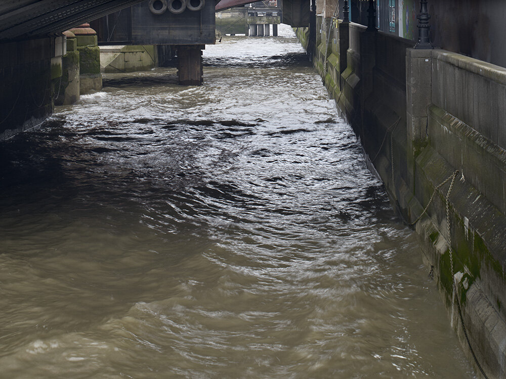
Rich Cutler’s photographs trace the ancient course of the River Fleet and its history through the urban landscape of present-day London. The project explores one of London’s ‘lost’ rivers: the Fleet, with its headwaters arising at Hampstead, and its mouth at Blackfriars. After the Thames it was the city’s largest river, but as the population increased it became an open sewer, and the channel silted up. The Victorians eventually diverted it underground, incorporating the river in their new sewer system. Today, with the exception on Hampstead Heath, no open water remains, and the course of the river has been obliterated.
![02 14-04-05 [12.36h 43].jpg](https://images.squarespace-cdn.com/content/v1/564da640e4b06d1c92c1a9f1/1604132510712-BN8XVU1J69RFLCY6QPQW/02+14-04-05+%5B12.36h+43%5D.jpg)
![03 14-03-28 [14.42h 54].jpg](https://images.squarespace-cdn.com/content/v1/564da640e4b06d1c92c1a9f1/1604132538356-72GN9CE3NX66XHH24V48/03+14-03-28+%5B14.42h+54%5D.jpg)
![04 14-03-28 [13.16h 45].jpg](https://images.squarespace-cdn.com/content/v1/564da640e4b06d1c92c1a9f1/1604132563424-X6Z0CM3CQJX6DOUQT054/04+14-03-28+%5B13.16h+45%5D.jpg)
![10 14-04-05 [16.23h 39].jpg](https://images.squarespace-cdn.com/content/v1/564da640e4b06d1c92c1a9f1/1604132589898-2CSSX7RM2FO7GJ9P37DZ/10+14-04-05+%5B16.23h+39%5D.jpg)
As London grew, its landscape and climate changed – the causes in part natural and in part human. The London Basin when first settled by humans was tundra with grass, sedge and shrubby trees. The climate warmed, and by 10,000 BCE this region was covered by deciduous forest, with meadows adjacent to the River Thames. The first farmers arrived about 4,000 BCE and began felling trees; the landscape soon became a patchwork of cleared fields and small settlements. The River Fleet at this time was a stream flowing from the hills to the north, forming a steep-sided valley before it entered the Thames in a wide estuary. The settlers in this area would have used the Fleet for drinking water and catching fish. Later, after founding the city of London, the Romans harnessed its power for mills. But as London grew over the centuries, we turned the Fleet from a source of clean water into an open sewer, finally entombing it underground to be unseen and forgotten.
![17 14-11-07 [13.05h 18].jpg](https://images.squarespace-cdn.com/content/v1/564da640e4b06d1c92c1a9f1/1604132620227-C52KWD2WNJWECC925R6M/17+14-11-07+%5B13.05h+18%5D.jpg)
![25 15-10-20 [14.12h 57].jpg](https://images.squarespace-cdn.com/content/v1/564da640e4b06d1c92c1a9f1/1604132650467-FK8T14PTKD7P5EAX1YGP/25+15-10-20+%5B14.12h+57%5D.jpg)
![40 15-10-23 [13.12h 43].jpg](https://images.squarespace-cdn.com/content/v1/564da640e4b06d1c92c1a9f1/1604132681918-HKQU2H47JORVT45ULR7J/40+15-10-23+%5B13.12h+43%5D.jpg)

We have an uneasy relationship with nature, exploiting it for our – often short-term – needs. As time passes, the environment changes beyond recognition by our hand, yet echoes of the past bleed into the present, and nature is never truly subjugated. As well as exploring the geography of the natural course of the Fleet through modern London, Rich Cutler questions our relationship with and impact on the landscape – both natural and built. Following the now-hidden former course of the River Fleet, we journey through a present-day London conditioned by history: a landscape that should be familiar but appears instead out of place and out of time – neither here nor there, neither now nor then.


![66 15-02-22 [11.21h 26].jpg](https://images.squarespace-cdn.com/content/v1/564da640e4b06d1c92c1a9f1/1604132789147-28G19IOGJUXLBT2S681O/66+15-02-22+%5B11.21h+26%5D.jpg)
Rich Cutler carefully transposed the last known natural course of the river from an old map onto Google Maps, and then walked and observed along this route over 4 years, from the start of the Fleet on the hills of Hampstead Heath to its former mouth by Blackfriars Bridge on the Thames – never straying from what would have been the banks of the river. The final series is comprised of 70 photographs and will be made into in a book, along with archival material from the 19th century and earlier.